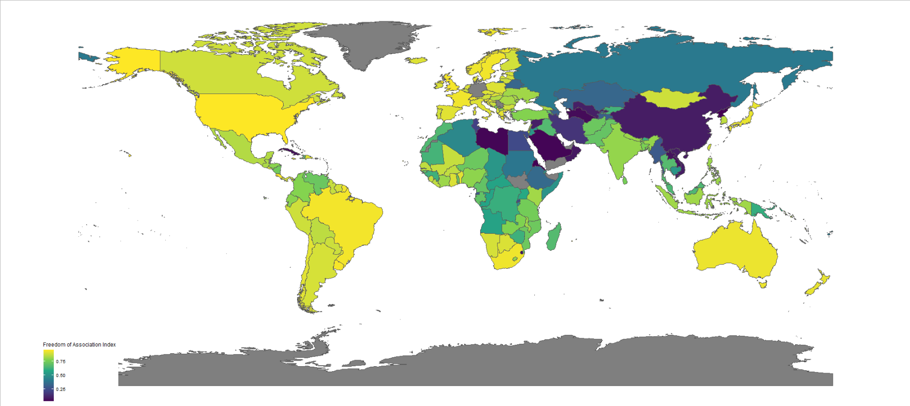
All the packages I will be using: First, we access and store a map object from the rnaturalearth package, with all the spatial information in contains. We specify returnclass = “sf”, which will return a dataframe with simple features information. Simple features or simple feature access refers to a formal standard (ISO 19125-1:2004) that describes how objects in … Continue reading Plot variables on a map with rnaturalearth package in R
Copy and paste this URL into your WordPress site to embed